A right royal play area
Introduction
The photograph on this page of A right royal play area by Neil Owen as part of the Geograph project.
The Geograph project started in 2005 with the aim of publishing, organising and preserving representative images for every square kilometre of Great Britain, Ireland and the Isle of Man.

There are currently over 7.5m images from over 14,400 individuals and you can help contribute to the project by visiting https://www.geograph.org.uk
A right royal play area
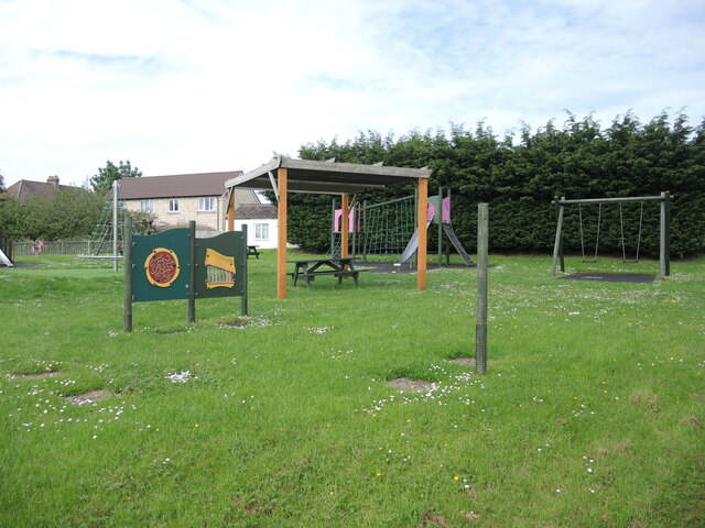
Image: © Neil Owen Taken: 29 May 2021
The village of Kington St Michael acquired this site for recreation in the 1980s. It was levelled then and re-levelled in 2008 to provide a football pitch. In 2011 the Parish Council approved a Deed of Dedication for the recreation field to become a QEII Field. This raises the field to an accredited place of recreation that is enshrined in law. A roundel states it is a Field in Trust, as part of the Queen's Diamond Jubilee of 2012.
Images are licensed for reuse under creativecommons.org/licenses/by-sa/2.0
Image Location
Latitude
51.499046
Longitude
-2.146891