Direction Sign ? Signpost on Crouchman's Farm Road in Ulting
Introduction
The photograph on this page of Direction Sign ? Signpost on Crouchman's Farm Road in Ulting by John V Nicholls as part of the Geograph project.
The Geograph project started in 2005 with the aim of publishing, organising and preserving representative images for every square kilometre of Great Britain, Ireland and the Isle of Man.

There are currently over 7.5m images from over 14,400 individuals and you can help contribute to the project by visiting https://www.geograph.org.uk
Direction Sign ? Signpost on Crouchman's Farm Road in Ulting
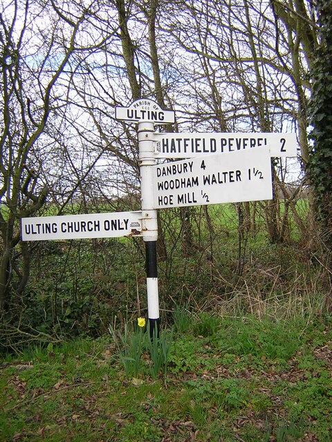
Image: © John V Nicholls Taken: 17 Mar 2011
Located at the T junction of Crochman's Farm Road and Church Road in Ulting parish. 3 arms and rolltop finial. The finial is the only surviving one of the type and which were quite uncommon even their 1930s heyday. Milestone Society National ID: EX_TL8008
Images are licensed for reuse under creativecommons.org/licenses/by-sa/2.0
Image Location
Latitude
51.750249
Longitude
0.609553