Langley Fitzurse school
Introduction
The photograph on this page of Langley Fitzurse school by Neil Owen as part of the Geograph project.
The Geograph project started in 2005 with the aim of publishing, organising and preserving representative images for every square kilometre of Great Britain, Ireland and the Isle of Man.

There are currently over 7.5m images from over 14,400 individuals and you can help contribute to the project by visiting https://www.geograph.org.uk
Langley Fitzurse school
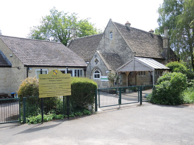
Image: © Neil Owen Taken: 29 May 2021
The village children have been educated here since the 1850s. Its records report that there were fluctuating numbers throughout that time, harvests and diseases notwithstanding. In recent times the school has had a new hall, Cherry Hall, built in 2004; and in November, 2020, Langley Fitzurse C. of E. Primary School federated with Stanton St Quintin Primary School.
Images are licensed for reuse under creativecommons.org/licenses/by-sa/2.0
Image Location
Latitude
51.490543
Longitude
-2.11244