An overgrown corner of Priory Park adjoining Warwick station
Introduction
The photograph on this page of An overgrown corner of Priory Park adjoining Warwick station by Robin Stott as part of the Geograph project.
The Geograph project started in 2005 with the aim of publishing, organising and preserving representative images for every square kilometre of Great Britain, Ireland and the Isle of Man.

There are currently over 7.5m images from over 14,400 individuals and you can help contribute to the project by visiting https://www.geograph.org.uk
An overgrown corner of Priory Park adjoining Warwick station
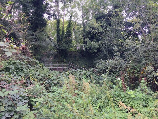
Image: © Robin Stott Taken: 11 Sep 2020
The railway is on an embankment. St John's Brook is culverted under it in two places. It's possible that the fairly modern-looking steps give safe private access from railway land to the culvert for inspection.
Images are licensed for reuse under creativecommons.org/licenses/by-sa/2.0
Image Location


Leaflet Map data © OpenStreetMap
Latitude
52.286458
Longitude
-1.584641