Cedar Drive, Southwater
Introduction
The photograph on this page of Cedar Drive, Southwater by Simon Carey as part of the Geograph project.
The Geograph project started in 2005 with the aim of publishing, organising and preserving representative images for every square kilometre of Great Britain, Ireland and the Isle of Man.

There are currently over 7.5m images from over 14,400 individuals and you can help contribute to the project by visiting https://www.geograph.org.uk
Cedar Drive, Southwater
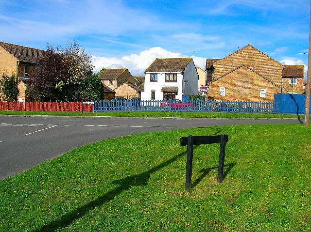
Image: © Simon Carey Taken: 22 Oct 2005
Southwater has grown extensively over the last thirty years and has in effect become a dormitory town for Horsham. Cedar Drive is one of a number of new estates that have been built.
Images are licensed for reuse under creativecommons.org/licenses/by-sa/2.0
Image Location


Leaflet Map data © OpenStreetMap
Latitude
51.023418
Longitude
-0.343128