Afon Arran
Introduction
The photograph on this page of Afon Arran by Chris Thomas-Atkin as part of the Geograph project.
The Geograph project started in 2005 with the aim of publishing, organising and preserving representative images for every square kilometre of Great Britain, Ireland and the Isle of Man.

There are currently over 7.5m images from over 14,400 individuals and you can help contribute to the project by visiting https://www.geograph.org.uk
Afon Arran
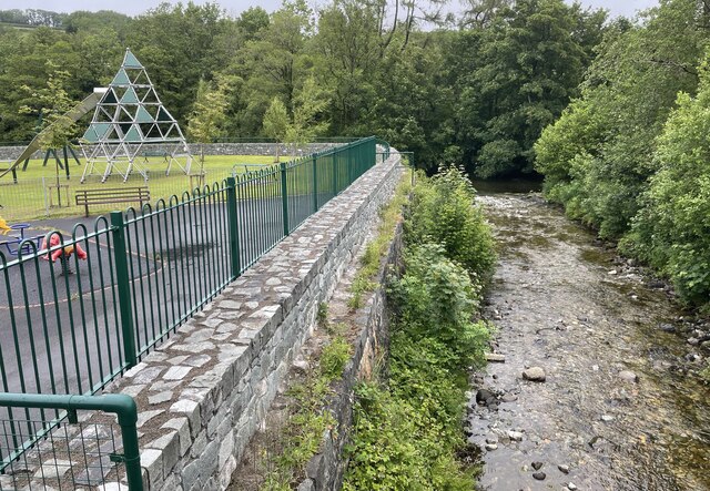
Image: © Chris Thomas-Atkin Taken: 11 Jun 2021
The Afon Arran runs through Dolgellau to join the nearby Afon Wnion, itself a tributary of the Afon Mawddach, which meets the sea at Barmouth. The Arran rises on the slopes of Mynydd Moel, a summit of Cadair Idris, and is fed by Llyn Arran.
Images are licensed for reuse under creativecommons.org/licenses/by-sa/2.0
Image Location
Latitude
52.744029
Longitude
-3.882771