Field below Usk Valley Walk
Introduction
The photograph on this page of Field below Usk Valley Walk by M J Roscoe as part of the Geograph project.
The Geograph project started in 2005 with the aim of publishing, organising and preserving representative images for every square kilometre of Great Britain, Ireland and the Isle of Man.

There are currently over 7.5m images from over 14,400 individuals and you can help contribute to the project by visiting https://www.geograph.org.uk
Field below Usk Valley Walk
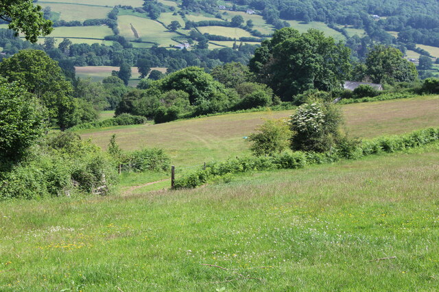
Image: © M J Roscoe Taken: 2 Jul 2021
Fields on southern slope of valley running down to the line of trees by the Mon & Brec Canal. The building just visible on the right is Ty-Dafydd.
Images are licensed for reuse under creativecommons.org/licenses/by-sa/2.0
Image Location
Latitude
51.860639
Longitude
-3.175887