Car parking, Kingswood Estate, East Dulwich
Introduction
The photograph on this page of Car parking, Kingswood Estate, East Dulwich by Robin Stott as part of the Geograph project.
The Geograph project started in 2005 with the aim of publishing, organising and preserving representative images for every square kilometre of Great Britain, Ireland and the Isle of Man.

There are currently over 7.5m images from over 14,400 individuals and you can help contribute to the project by visiting https://www.geograph.org.uk
Car parking, Kingswood Estate, East Dulwich
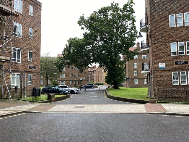
Image: © Robin Stott Taken: 28 Jun 2021
The estate first appears on an OS map of 1952. The blocks are set in open space: there is little vehicular access (except to Kingswood House itself), let alone car parking. It does appear on a map spanning 1958-79.On the left, Telfer House with Markham House beyond. On the right, Huntley House with Hovended House beyond.
Images are licensed for reuse under creativecommons.org/licenses/by-sa/2.0
Image Location
Latitude
51.429775
Longitude
-0.082189