9, Low Pavement, Chesterfield
Introduction
The photograph on this page of 9, Low Pavement, Chesterfield by Alan Murray-Rust as part of the Geograph project.
The Geograph project started in 2005 with the aim of publishing, organising and preserving representative images for every square kilometre of Great Britain, Ireland and the Isle of Man.

There are currently over 7.5m images from over 14,400 individuals and you can help contribute to the project by visiting https://www.geograph.org.uk
9, Low Pavement, Chesterfield
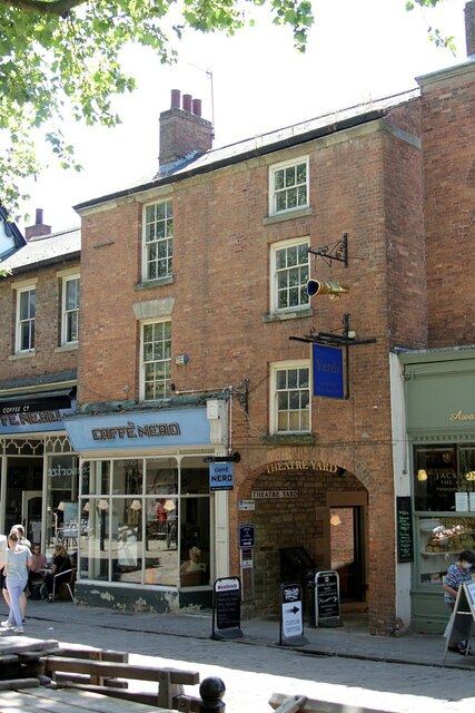
Image: © Alan Murray-Rust Taken: 15 Jun 2021
Town house of c.1800, Listed Grade II. The carriage arch is named Theatre Yard; originally the Theatre Royal was located at the southern end of the yard.
Images are licensed for reuse under creativecommons.org/licenses/by-sa/2.0
Image Location
Latitude
53.235019
Longitude
-1.42765