Farm buildings at Cae-Merddyn
Introduction
The photograph on this page of Farm buildings at Cae-Merddyn by John Haynes as part of the Geograph project.
The Geograph project started in 2005 with the aim of publishing, organising and preserving representative images for every square kilometre of Great Britain, Ireland and the Isle of Man.

There are currently over 7.5m images from over 14,400 individuals and you can help contribute to the project by visiting https://www.geograph.org.uk
Farm buildings at Cae-Merddyn
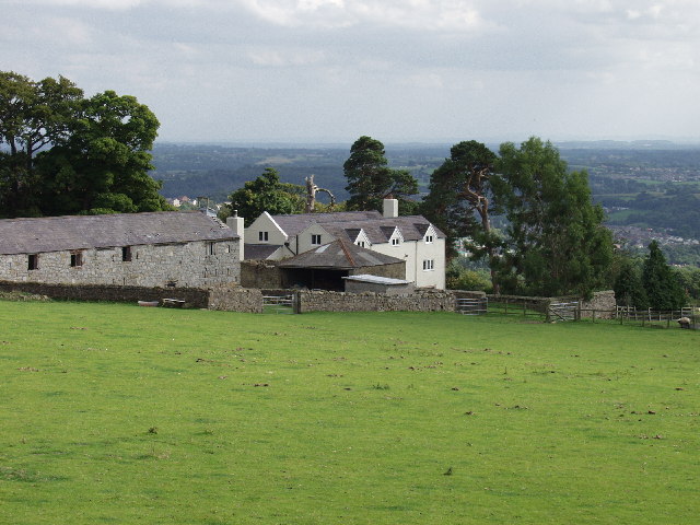
Image: © John Haynes Taken: 6 Sep 2005
Well maintained traditional farm buildings on this upland farm. The view is southeast towards the Cheshire plain 15 km away.
Images are licensed for reuse under creativecommons.org/licenses/by-sa/2.0
Image Location


Leaflet Map data © OpenStreetMap
Latitude
52.989734
Longitude
-3.093853