The Downs, Herne Bay
Introduction
The photograph on this page of The Downs, Herne Bay by pam fray as part of the Geograph project.
The Geograph project started in 2005 with the aim of publishing, organising and preserving representative images for every square kilometre of Great Britain, Ireland and the Isle of Man.

There are currently over 7.5m images from over 14,400 individuals and you can help contribute to the project by visiting https://www.geograph.org.uk
The Downs, Herne Bay
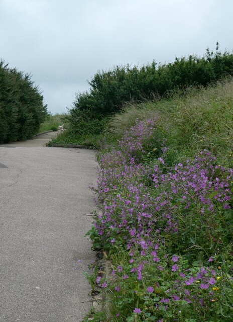
Image: © pam fray Taken: 29 Jun 2021
One of the paths through this coastal park area near Beltinge. It is abundant in wildflowers and the plants on the right of the path are mallow.
Images are licensed for reuse under creativecommons.org/licenses/by-sa/2.0
Image Location
Latitude
51.372003
Longitude
1.139929