The Ship Inn, Herne Bay
Introduction
The photograph on this page of The Ship Inn, Herne Bay by pam fray as part of the Geograph project.
The Geograph project started in 2005 with the aim of publishing, organising and preserving representative images for every square kilometre of Great Britain, Ireland and the Isle of Man.

There are currently over 7.5m images from over 14,400 individuals and you can help contribute to the project by visiting https://www.geograph.org.uk
The Ship Inn, Herne Bay
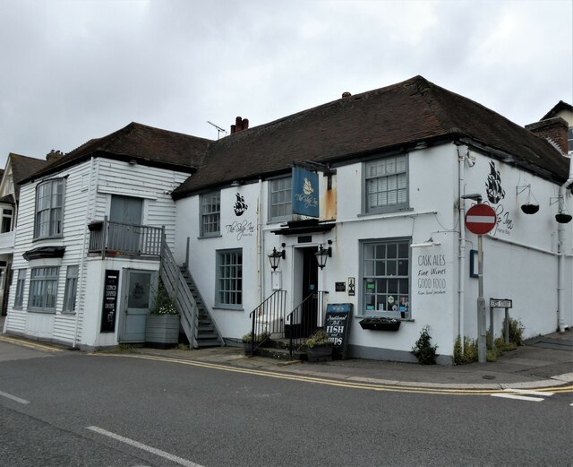
Image: © pam fray Taken: 29 Jun 2021
On the corner of East Street and Central Parade. A Grade II listed 14th century building. The small hamlet which developed around the pub became home to a fishing community, and later on as a beaching point for goods being transported by boat, to and from London, as well as coal from Newcastle. The Ship was an infamous smuggler's haunt until the 1820s and was also used as an entertainment venue for the troops during the Napoleonic Wars.
Images are licensed for reuse under creativecommons.org/licenses/by-sa/2.0
Image Location
Latitude
51.37282
Longitude
1.132944