Shelter on Fore Street, Bradninch
Introduction
The photograph on this page of Shelter on Fore Street, Bradninch by A J Paxton as part of the Geograph project.
The Geograph project started in 2005 with the aim of publishing, organising and preserving representative images for every square kilometre of Great Britain, Ireland and the Isle of Man.

There are currently over 7.5m images from over 14,400 individuals and you can help contribute to the project by visiting https://www.geograph.org.uk
Shelter on Fore Street, Bradninch
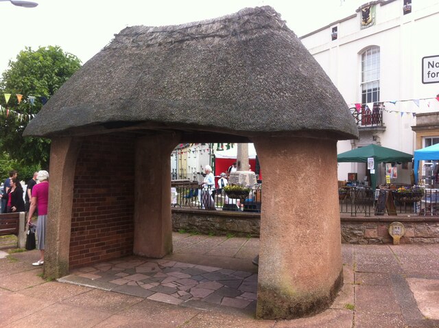
Image: © A J Paxton Taken: 1 Jun 2014
Thatched shelter at junction of Fore Street, High Street and Millway in Bradninch, Devon
Images are licensed for reuse under creativecommons.org/licenses/by-sa/2.0
Image Location
Latitude
50.826772
Longitude
-3.422046