Corner pylon above Dal Neich
Introduction
The photograph on this page of Corner pylon above Dal Neich by Alan Reid as part of the Geograph project.
The Geograph project started in 2005 with the aim of publishing, organising and preserving representative images for every square kilometre of Great Britain, Ireland and the Isle of Man.

There are currently over 7.5m images from over 14,400 individuals and you can help contribute to the project by visiting https://www.geograph.org.uk
Corner pylon above Dal Neich
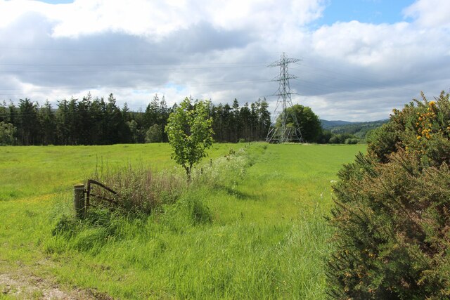
Image: © Alan Reid Taken: 11 Jun 2021
The power line continues north over the Struie and south to a Sub Station at Contullich.
Images are licensed for reuse under creativecommons.org/licenses/by-sa/2.0
Image Location


Leaflet Map data © OpenStreetMap
Latitude
57.724513
Longitude
-4.288701