Closed road
Introduction
The photograph on this page of Closed road by Richard Webb as part of the Geograph project.
The Geograph project started in 2005 with the aim of publishing, organising and preserving representative images for every square kilometre of Great Britain, Ireland and the Isle of Man.

There are currently over 7.5m images from over 14,400 individuals and you can help contribute to the project by visiting https://www.geograph.org.uk
Closed road
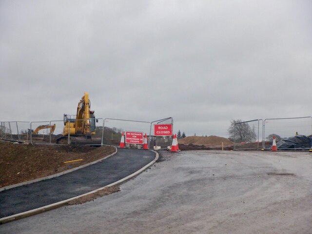
Image: © Richard Webb Taken: 27 Apr 2021
Due to house building. There was a reasonable alternative to the north but I went exploring the woodland around the Aurs Burn, north of the road which was interesting but led to some opposition from one of the builders even though it was outwith the Heras fencing and not part of the development.
Images are licensed for reuse under creativecommons.org/licenses/by-sa/2.0
Image Location
Latitude
55.787472
Longitude
-4.393252