View of Manor Farm on the B2067
Introduction
The photograph on this page of View of Manor Farm on the B2067 by John Baker as part of the Geograph project.
The Geograph project started in 2005 with the aim of publishing, organising and preserving representative images for every square kilometre of Great Britain, Ireland and the Isle of Man.

There are currently over 7.5m images from over 14,400 individuals and you can help contribute to the project by visiting https://www.geograph.org.uk
View of Manor Farm on the B2067
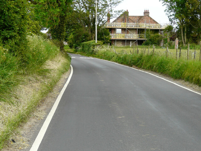
Image: © John Baker Taken: 6 Jun 2021
The house seems to be undergoing building work to its exterior.
Images are licensed for reuse under creativecommons.org/licenses/by-sa/2.0
Image Location
Latitude
51.079748
Longitude
0.982577