Medieval Fishpond, Eynsham Meadows
Introduction
The photograph on this page of Medieval Fishpond, Eynsham Meadows by Des Blenkinsopp as part of the Geograph project.
The Geograph project started in 2005 with the aim of publishing, organising and preserving representative images for every square kilometre of Great Britain, Ireland and the Isle of Man.

There are currently over 7.5m images from over 14,400 individuals and you can help contribute to the project by visiting https://www.geograph.org.uk
Medieval Fishpond, Eynsham Meadows
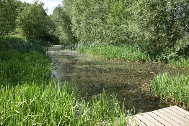
Image: © Des Blenkinsopp Taken: 9 Jun 2021
The site of Eynsham Abbey is just north of here and in the middle ages the abbots created a series of fish ponds on the estate using water from the nearby Chill Brook. The area is still wetland and is now a nature reserve.
Images are licensed for reuse under creativecommons.org/licenses/by-sa/2.0
Image Location
Latitude
51.777559
Longitude
-1.375533