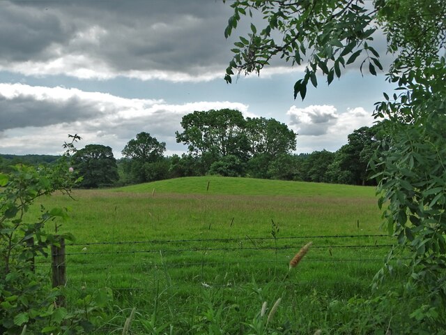
Leekfrith Tumulus by Whitty Lane
Introduction
The photograph on this page of Leekfrith Tumulus by Whitty Lane by Neil Theasby as part of the Geograph project.
The Geograph project started in 2005 with the aim of publishing, organising and preserving representative images for every square kilometre of Great Britain, Ireland and the Isle of Man.
There are currently over 7.5m images from over 14,400 individuals and you can help contribute to the project by visiting https://www.geograph.org.uk

Image: © Neil Theasby Taken: 22 Jun 2021
A contributor to the "Megalithic Portal" website said this of the Leekfrith tumulus in 2005:- "I visited this site maybe 20 years ago and was told by the farmer that there was a stone on the mound but it stopped him ploughing. He had pulled down the stone and moved it into the hedgerow. Also there used to be a similar tumulus in Leek called Cocklow which also had a stone at its summit but the mound was allowed to be demolished to make way for a factory in the 1800's I think. An ancient relic from this mound - a type of funeral urn - is in the possession of Leek Museum.

