Low Bridge caravan park
Introduction
The photograph on this page of Low Bridge caravan park by Gordon Hatton as part of the Geograph project.
The Geograph project started in 2005 with the aim of publishing, organising and preserving representative images for every square kilometre of Great Britain, Ireland and the Isle of Man.

There are currently over 7.5m images from over 14,400 individuals and you can help contribute to the project by visiting https://www.geograph.org.uk
Low Bridge caravan park
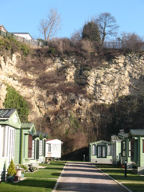
Image: © Gordon Hatton Taken: 12 Feb 2008
The caravan park is confined within the crags of the old Bunker's Hill quarry, which must have supplied many thousands of tons of high quality Magnesian Limestone for buildings in the town and elsewhere.
Images are licensed for reuse under creativecommons.org/licenses/by-sa/2.0
Image Location
Latitude
54.004149
Longitude
-1.465977