Heritage Road
Introduction
The photograph on this page of Heritage Road by John Baker as part of the Geograph project.
The Geograph project started in 2005 with the aim of publishing, organising and preserving representative images for every square kilometre of Great Britain, Ireland and the Isle of Man.

There are currently over 7.5m images from over 14,400 individuals and you can help contribute to the project by visiting https://www.geograph.org.uk
Heritage Road
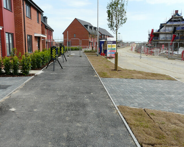
Image: © John Baker Taken: 6 Jun 2021
The road is the same Image and this section is located at its far end; the tree is common to both views. It is part of a developing housing estate, which has been called Bridgefield 2, where 325 homes are to be built http://www.cradick.co.uk/properties/freehold/Bridgefield-Ashford-Ashford/421 The newly laid grass turves were showing signs of a lack of rain.
Images are licensed for reuse under creativecommons.org/licenses/by-sa/2.0
Image Location
Latitude
51.109169
Longitude
0.881882