Entrance to the Salvation Army Car Park, Brighouse
Introduction
The photograph on this page of Entrance to the Salvation Army Car Park, Brighouse by Humphrey Bolton as part of the Geograph project.
The Geograph project started in 2005 with the aim of publishing, organising and preserving representative images for every square kilometre of Great Britain, Ireland and the Isle of Man.

There are currently over 7.5m images from over 14,400 individuals and you can help contribute to the project by visiting https://www.geograph.org.uk
Entrance to the Salvation Army Car Park, Brighouse
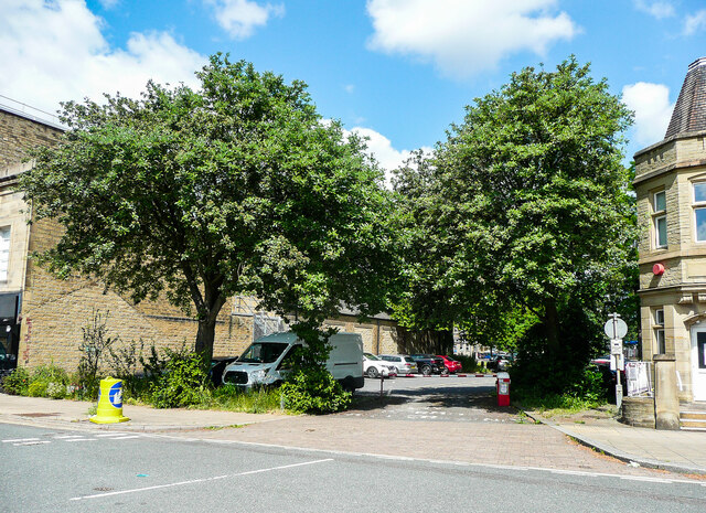
Image: © Humphrey Bolton Taken: 22 Jun 2021
This was Dale Street before the bypass road was constructed. The two Whitebeam trees were probably planted then, in the 1970s.
Images are licensed for reuse under creativecommons.org/licenses/by-sa/2.0
Image Location
Latitude
53.702687
Longitude
-1.777901