Development along the Manchester Ship Canal
Introduction
The photograph on this page of Development along the Manchester Ship Canal by Christine Johnstone as part of the Geograph project.
The Geograph project started in 2005 with the aim of publishing, organising and preserving representative images for every square kilometre of Great Britain, Ireland and the Isle of Man.

There are currently over 7.5m images from over 14,400 individuals and you can help contribute to the project by visiting https://www.geograph.org.uk
Development along the Manchester Ship Canal
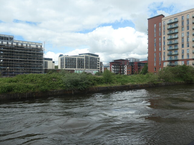
Image: © Christine Johnstone Taken: 22 May 2021
The further buildings are off Worrall Street. The nearest building is a block of flats on Pomona Wharf. Seen from a boat on the Bridgewater Canal.
Images are licensed for reuse under creativecommons.org/licenses/by-sa/2.0
Image Location
Latitude
53.472132
Longitude
-2.267972