Meadow at Prologis Country Park
Introduction
The photograph on this page of Meadow at Prologis Country Park by A J Paxton as part of the Geograph project.
The Geograph project started in 2005 with the aim of publishing, organising and preserving representative images for every square kilometre of Great Britain, Ireland and the Isle of Man.

There are currently over 7.5m images from over 14,400 individuals and you can help contribute to the project by visiting https://www.geograph.org.uk
Meadow at Prologis Country Park
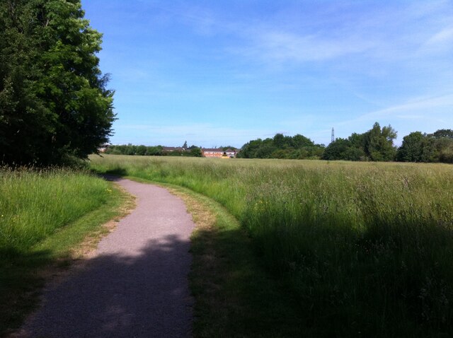
Image: © A J Paxton Taken: 15 Jun 2021
Morning view, looking towards Keresley Village, the former mining village. This large meadow is at the western end of the country park that adjoins, and belongs to, the Prologis Park business park development on the site of the Coventry Colliery.
Images are licensed for reuse under creativecommons.org/licenses/by-sa/2.0
Image Location
Latitude
52.458476
Longitude
-1.522685