East Keswick, Greystones
Introduction
The photograph on this page of East Keswick, Greystones by Mel Towler as part of the Geograph project.
The Geograph project started in 2005 with the aim of publishing, organising and preserving representative images for every square kilometre of Great Britain, Ireland and the Isle of Man.

There are currently over 7.5m images from over 14,400 individuals and you can help contribute to the project by visiting https://www.geograph.org.uk
East Keswick, Greystones
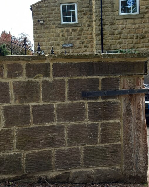
Image: © Mel Towler Taken: 20 Jun 2021
A wider angle showing the front facade of the Greystones property and the house name. This house is situated on the south-east side of Whitegates. To the left of the gateway is a clear benchmark cut into the roadside wall.
Images are licensed for reuse under creativecommons.org/licenses/by-sa/2.0
Image Location
Latitude
53.896594
Longitude
-1.452436