The Anchor
Introduction
The photograph on this page of The Anchor by Kenneth Allen as part of the Geograph project.
The Geograph project started in 2005 with the aim of publishing, organising and preserving representative images for every square kilometre of Great Britain, Ireland and the Isle of Man.

There are currently over 7.5m images from over 14,400 individuals and you can help contribute to the project by visiting https://www.geograph.org.uk
The Anchor
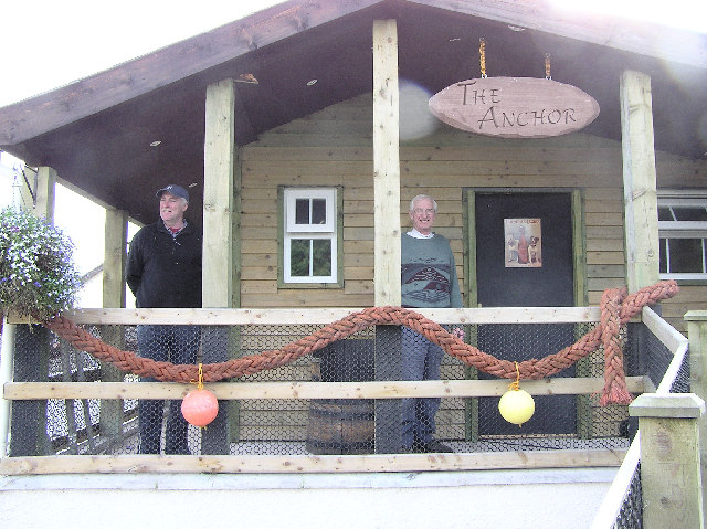
Image: © Kenneth Allen Taken: 22 Oct 2005
A clubhouse for local fishermen with refreshment facilities, it is located at the junction of the Edenderry Road and the Donaghanie Road.
Images are licensed for reuse under creativecommons.org/licenses/by-sa/2.0
Image Location


Leaflet Map data © OpenStreetMap
Latitude
54.575925
Longitude
-7.244589