Drain at the bottom of Knapp Hill
Introduction
The photograph on this page of Drain at the bottom of Knapp Hill by Neil Owen as part of the Geograph project.
The Geograph project started in 2005 with the aim of publishing, organising and preserving representative images for every square kilometre of Great Britain, Ireland and the Isle of Man.

There are currently over 7.5m images from over 14,400 individuals and you can help contribute to the project by visiting https://www.geograph.org.uk
Drain at the bottom of Knapp Hill
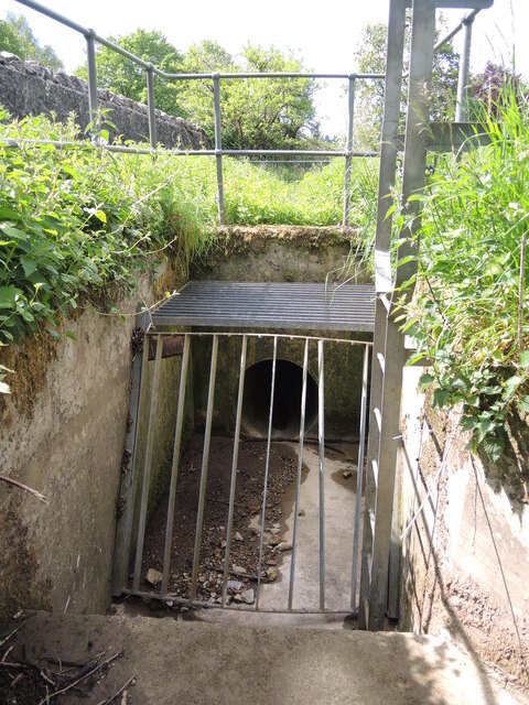
Image: © Neil Owen Taken: 26 May 2021
The valley running down the hill also has some drainage which empties into this modern culvert. It goes under the Bath Road and on further south.
Images are licensed for reuse under creativecommons.org/licenses/by-sa/2.0
Image Location
Latitude
51.213261
Longitude
-2.621289