Lothersdale, Dodgson House Farm
Introduction
The photograph on this page of Lothersdale, Dodgson House Farm by Mel Towler as part of the Geograph project.
The Geograph project started in 2005 with the aim of publishing, organising and preserving representative images for every square kilometre of Great Britain, Ireland and the Isle of Man.

There are currently over 7.5m images from over 14,400 individuals and you can help contribute to the project by visiting https://www.geograph.org.uk
Lothersdale, Dodgson House Farm
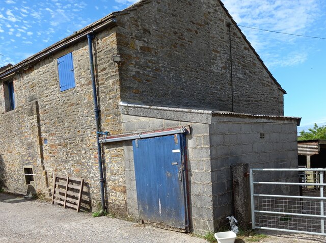
Image: © Mel Towler Taken: 16 Jun 2021
The old stone farm building and more recent add-on [1970's] of the more modern dairy on the extreme right. Today the farm is not milking cows, but runs suckler cows and a sheep flock. To the right of the drainpipe is a worn benchmark.
Images are licensed for reuse under creativecommons.org/licenses/by-sa/2.0
Image Location
Latitude
53.912534
Longitude
-2.106374