Disused building by course of old railway
Introduction
The photograph on this page of Disused building by course of old railway by Robin Webster as part of the Geograph project.
The Geograph project started in 2005 with the aim of publishing, organising and preserving representative images for every square kilometre of Great Britain, Ireland and the Isle of Man.

There are currently over 7.5m images from over 14,400 individuals and you can help contribute to the project by visiting https://www.geograph.org.uk
Disused building by course of old railway
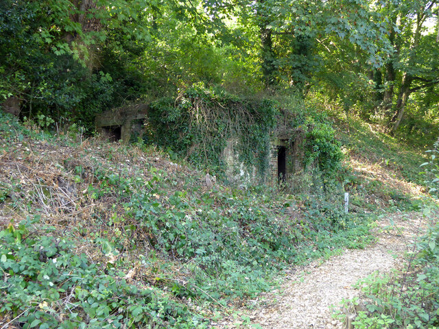
Image: © Robin Webster Taken: 15 Sep 2016
Set into the cutting of the old Chattenden and Upnor Railway, latterly run by the Navy, at first sight I took this as a pillbox. However it once was mapped as an electricity substation. A closer look (from a distance) does not convincingly suggest either possibility. The white marker is for a pumped sewer.
Images are licensed for reuse under creativecommons.org/licenses/by-sa/2.0
Image Location
Latitude
51.409771
Longitude
0.526838