Vicarage of St Matthew's church
Introduction
The photograph on this page of Vicarage of St Matthew's church by Richard Law as part of the Geograph project.
The Geograph project started in 2005 with the aim of publishing, organising and preserving representative images for every square kilometre of Great Britain, Ireland and the Isle of Man.

There are currently over 7.5m images from over 14,400 individuals and you can help contribute to the project by visiting https://www.geograph.org.uk
Vicarage of St Matthew's church
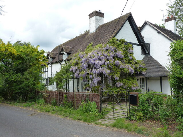
Image: © Richard Law Taken: 12 May 2020
A substantial 17th century timber framed house, Grade II listed https://britishlistedbuildings.co.uk/101054180 https://historicengland.org.uk/listing/the-list/list-entry/1054180 in 1983. It was named at that point as the Vicarage of St Matthew's, but the nearest church of that name is in Donnington Wood Image, roughly a mile south of here; it seems unlikely to be that one.
Images are licensed for reuse under creativecommons.org/licenses/by-sa/2.0
Image Location
Latitude
52.72567
Longitude
-2.428109