Weir on the Yeo at Congresbury
Introduction
The photograph on this page of Weir on the Yeo at Congresbury by Neil Owen as part of the Geograph project.
The Geograph project started in 2005 with the aim of publishing, organising and preserving representative images for every square kilometre of Great Britain, Ireland and the Isle of Man.

There are currently over 7.5m images from over 14,400 individuals and you can help contribute to the project by visiting https://www.geograph.org.uk
Weir on the Yeo at Congresbury
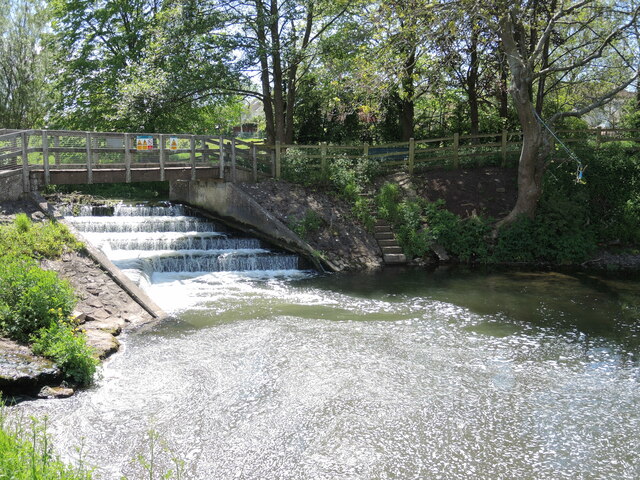
Image: © Neil Owen Taken: 19 May 2021
This weir is fairly modern; previously the waters of the Yeo would have been met by a sluice. This marks the highest point to which oridnary tides used to flow; today that point is now regulated to much nearer the Bristol Channel.
Images are licensed for reuse under creativecommons.org/licenses/by-sa/2.0
Image Location
Latitude
51.367983
Longitude
-2.803374