South along Cullis Drive, Lightmoor Village
Introduction
The photograph on this page of South along Cullis Drive, Lightmoor Village by Richard Law as part of the Geograph project.
The Geograph project started in 2005 with the aim of publishing, organising and preserving representative images for every square kilometre of Great Britain, Ireland and the Isle of Man.

There are currently over 7.5m images from over 14,400 individuals and you can help contribute to the project by visiting https://www.geograph.org.uk
South along Cullis Drive, Lightmoor Village
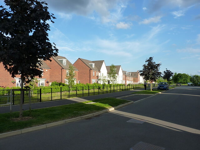
Image: © Richard Law Taken: 16 Jun 2021
New housing developments built in the last few years as part of the extensive Lightmoor Village estate between Horsehay and Doseley.
Images are licensed for reuse under creativecommons.org/licenses/by-sa/2.0
Image Location
Latitude
52.654
Longitude
-2.478615