Entering Ercall Wood
Introduction
The photograph on this page of Entering Ercall Wood by Stephen McKay as part of the Geograph project.
The Geograph project started in 2005 with the aim of publishing, organising and preserving representative images for every square kilometre of Great Britain, Ireland and the Isle of Man.

There are currently over 7.5m images from over 14,400 individuals and you can help contribute to the project by visiting https://www.geograph.org.uk
Entering Ercall Wood
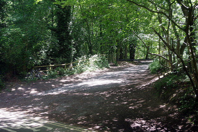
Image: © Stephen McKay Taken: 15 Jun 2021
This is one of several access points to the Ercall and the path can be followed right through the ancient oak woodland. For some reason a bicycle has been left propped against the fence although there was no sign of its owner.
Images are licensed for reuse under creativecommons.org/licenses/by-sa/2.0
Image Location


Leaflet Map data © OpenStreetMap
Latitude
52.683068
Longitude
-2.534257