Bosworth Way
Introduction
The photograph on this page of Bosworth Way by Malcolm Neal as part of the Geograph project.
The Geograph project started in 2005 with the aim of publishing, organising and preserving representative images for every square kilometre of Great Britain, Ireland and the Isle of Man.

There are currently over 7.5m images from over 14,400 individuals and you can help contribute to the project by visiting https://www.geograph.org.uk
Bosworth Way
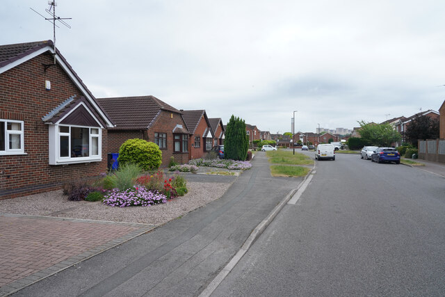
Image: © Malcolm Neal Taken: 17 Jun 2021
Looking along the bungalows of Bosworth Way towards the distant power station at Ratcliffe on Soar.
Images are licensed for reuse under creativecommons.org/licenses/by-sa/2.0
Image Location
Latitude
52.884931
Longitude
-1.271025