The Cricketers at Alresford
Introduction
The photograph on this page of The Cricketers at Alresford by john browning as part of the Geograph project.
The Geograph project started in 2005 with the aim of publishing, organising and preserving representative images for every square kilometre of Great Britain, Ireland and the Isle of Man.

There are currently over 7.5m images from over 14,400 individuals and you can help contribute to the project by visiting https://www.geograph.org.uk
The Cricketers at Alresford
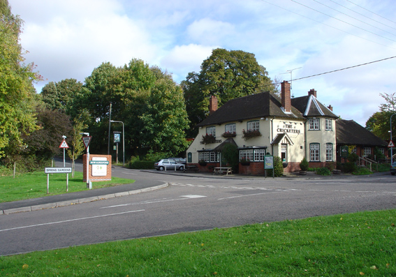
Image: © john browning Taken: 22 Oct 2005
On the southern edge of Alresford where the B3046 Cheriton road crosses Spring Gardens/Tichborne Down. Note the brand new Alresford sign; one of several to welcome travellers to Alresford.
Images are licensed for reuse under creativecommons.org/licenses/by-sa/2.0
Image Location


Leaflet Map data © OpenStreetMap
Latitude
51.079878
Longitude
-1.170549