Middle Brunton West Farm Trig Point
Introduction
The photograph on this page of Middle Brunton West Farm Trig Point by Anthony Foster as part of the Geograph project.
The Geograph project started in 2005 with the aim of publishing, organising and preserving representative images for every square kilometre of Great Britain, Ireland and the Isle of Man.

There are currently over 7.5m images from over 14,400 individuals and you can help contribute to the project by visiting https://www.geograph.org.uk
Middle Brunton West Farm Trig Point
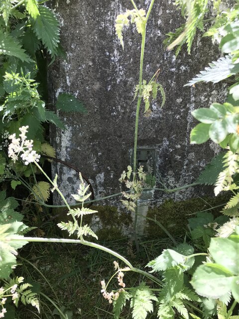
Image: © Anthony Foster Taken: 16 Jun 2021
A close up of the overgrown trig point the flush bracket is numbered S4168
Images are licensed for reuse under creativecommons.org/licenses/by-sa/2.0
Image Location
Latitude
55.032123
Longitude
-1.650622