Part of site of Settlement of North Cockerington: aerial 2021
Introduction
The photograph on this page of Part of site of Settlement of North Cockerington: aerial 2021 by Chris as part of the Geograph project.
The Geograph project started in 2005 with the aim of publishing, organising and preserving representative images for every square kilometre of Great Britain, Ireland and the Isle of Man.

There are currently over 7.5m images from over 14,400 individuals and you can help contribute to the project by visiting https://www.geograph.org.uk
Part of site of Settlement of North Cockerington: aerial 2021
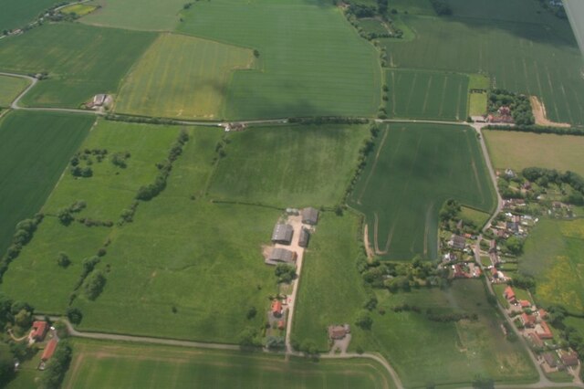
Image: © Chris Taken: 13 Jun 2021
The settlement of North Cockerington (also known as Cockerington St Mary) is first documented in the Domesday Book, and therefore probably has its origins in the Anglo-Saxon period. See: https://www.heritagegateway.org.uk/Gateway/Results_Single.aspx?uid=MLI83365&resourceID=1006 Included is the moated site of North Cockerington Hall, top left: https://www.heritagegateway.org.uk/Gateway/Results_Single.aspx?uid=836a927c-5934-4ece-8686-5cfd98bd67fe&resourceID=19191
Images are licensed for reuse under creativecommons.org/licenses/by-sa/2.0
Image Location


Leaflet Map data © OpenStreetMap
Latitude
53.392241
Longitude
0.067758