Junction of footpaths north of Hall Lane
Introduction
The photograph on this page of Junction of footpaths north of Hall Lane by Stephen Craven as part of the Geograph project.
The Geograph project started in 2005 with the aim of publishing, organising and preserving representative images for every square kilometre of Great Britain, Ireland and the Isle of Man.

There are currently over 7.5m images from over 14,400 individuals and you can help contribute to the project by visiting https://www.geograph.org.uk
Junction of footpaths north of Hall Lane
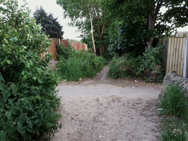
Image: © Stephen Craven Taken: 11 Jun 2021
The path in the foreground looking ahead is the public footpath connecting Hunger Hills woodland with Hall Lane; at this point it crosses an urban footpath or ginnel connecting West End Drive and Hall Park Avenue.
Images are licensed for reuse under creativecommons.org/licenses/by-sa/2.0
Image Location
Latitude
53.840968
Longitude
-1.646625