East Rounton, Home Farm
Introduction
The photograph on this page of East Rounton, Home Farm by Mel Towler as part of the Geograph project.
The Geograph project started in 2005 with the aim of publishing, organising and preserving representative images for every square kilometre of Great Britain, Ireland and the Isle of Man.

There are currently over 7.5m images from over 14,400 individuals and you can help contribute to the project by visiting https://www.geograph.org.uk
East Rounton, Home Farm
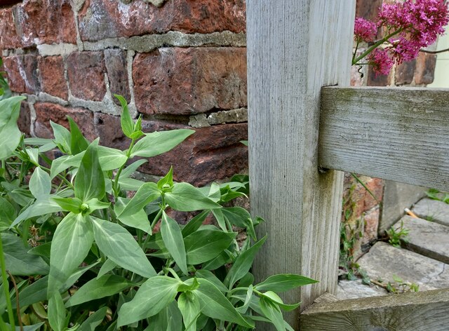
Image: © Mel Towler Taken: 13 Jun 2021
Roadside terraced brick built cottages attached to the Home Farm. This is the furthest left cottage showing the corner wall. Directly behind the wooden gatepost, about 1 foot from ground level there is a surveyor's cut mark, cut into the facing brick wall. The arrowhead of the benchmark is not clear.
Images are licensed for reuse under creativecommons.org/licenses/by-sa/2.0
Image Location


Leaflet Map data © OpenStreetMap
Latitude
54.425138
Longitude
-1.341842