Pant y Goitre House & Park
Introduction
The photograph on this page of Pant y Goitre House & Park by M J Roscoe as part of the Geograph project.
The Geograph project started in 2005 with the aim of publishing, organising and preserving representative images for every square kilometre of Great Britain, Ireland and the Isle of Man.

There are currently over 7.5m images from over 14,400 individuals and you can help contribute to the project by visiting https://www.geograph.org.uk
Pant y Goitre House & Park
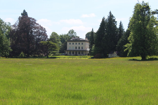
Image: © M J Roscoe Taken: 8 Jun 2021
Georgian (late 1700s) northern block of country house (now sub-divided) on southern edge of open pasture parkland with specimen trees.
Images are licensed for reuse under creativecommons.org/licenses/by-sa/2.0
Image Location
Latitude
51.772522
Longitude
-2.947064