Foundry Street, off Water Lane
Introduction
The photograph on this page of Foundry Street, off Water Lane by Stephen Craven as part of the Geograph project.
The Geograph project started in 2005 with the aim of publishing, organising and preserving representative images for every square kilometre of Great Britain, Ireland and the Isle of Man.

There are currently over 7.5m images from over 14,400 individuals and you can help contribute to the project by visiting https://www.geograph.org.uk
Foundry Street, off Water Lane
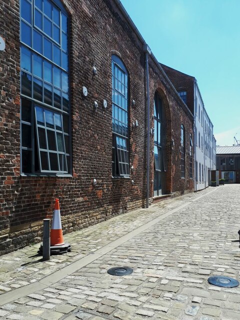
Image: © Stephen Craven Taken: 8 Jun 2021
The street takes its name from the building to the left, built as a foundry in 1795 and now grade II* listed (list entry 1375467). See Image for a wider context.
Images are licensed for reuse under creativecommons.org/licenses/by-sa/2.0
Image Location
Latitude
53.791488
Longitude
-1.552168