Milestone, Lower Wyndham Terrace
Introduction
The photograph on this page of Milestone, Lower Wyndham Terrace by Mr Red as part of the Geograph project.
The Geograph project started in 2005 with the aim of publishing, organising and preserving representative images for every square kilometre of Great Britain, Ireland and the Isle of Man.

There are currently over 7.5m images from over 14,400 individuals and you can help contribute to the project by visiting https://www.geograph.org.uk
Milestone, Lower Wyndham Terrace
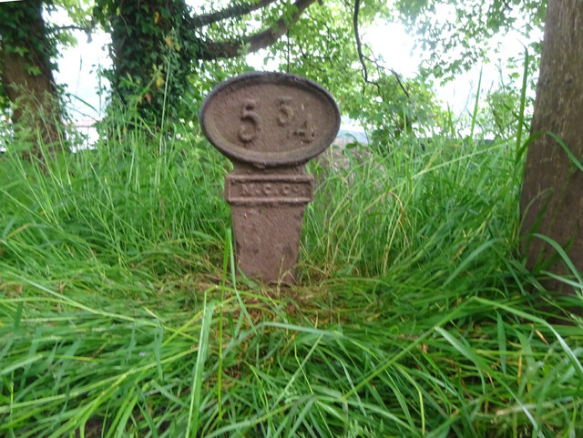
Image: © Mr Red Taken: 10 Jun 2021
On the MonBrec canal Crumlin branch. Milepost / mile peg dates from the days of the Monmouth Canal Company. Grade II listed see CADW https://cadwpublic-api.azurewebsites.net/reports/listedbuilding/FullReport?lang=&id=87787 . Long view facing Lower Wyndham Terrace https://www.geograph.org.uk/photo/3626076 Inscription: 5 ¾ Milestone Society National ID: CRU-05¾
Images are licensed for reuse under creativecommons.org/licenses/by-sa/2.0
Image Location
Latitude
51.607907
Longitude
-3.089992