Whitby Fire Station
Introduction
The photograph on this page of Whitby Fire Station by Mick Garratt as part of the Geograph project.
The Geograph project started in 2005 with the aim of publishing, organising and preserving representative images for every square kilometre of Great Britain, Ireland and the Isle of Man.

There are currently over 7.5m images from over 14,400 individuals and you can help contribute to the project by visiting https://www.geograph.org.uk
Whitby Fire Station
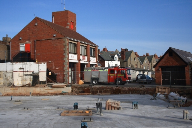
Image: © Mick Garratt Taken: 9 Feb 2008
A view that's soon likely to disappear when it will be obscured by the new building in the foreground.
Images are licensed for reuse under creativecommons.org/licenses/by-sa/2.0
Image Location
Latitude
54.487013
Longitude
-0.621342