Little Bannalls
Introduction
The photograph on this page of Little Bannalls by P Gaskell as part of the Geograph project.
The Geograph project started in 2005 with the aim of publishing, organising and preserving representative images for every square kilometre of Great Britain, Ireland and the Isle of Man.

There are currently over 7.5m images from over 14,400 individuals and you can help contribute to the project by visiting https://www.geograph.org.uk
Little Bannalls
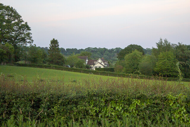
Image: © P Gaskell Taken: Unknown
Listed Building House. C17, altered and extended late C20. Timber-framed with rendered infill on rubble base and plain tiled roof.
Images are licensed for reuse under creativecommons.org/licenses/by-sa/2.0
Image Location


Leaflet Map data © OpenStreetMap
Latitude
52.268508
Longitude
-2.520465