Western parapet of Parcelstown Bridge
Introduction
The photograph on this page of Western parapet of Parcelstown Bridge by Luke Shaw as part of the Geograph project.
The Geograph project started in 2005 with the aim of publishing, organising and preserving representative images for every square kilometre of Great Britain, Ireland and the Isle of Man.

There are currently over 7.5m images from over 14,400 individuals and you can help contribute to the project by visiting https://www.geograph.org.uk
Western parapet of Parcelstown Bridge
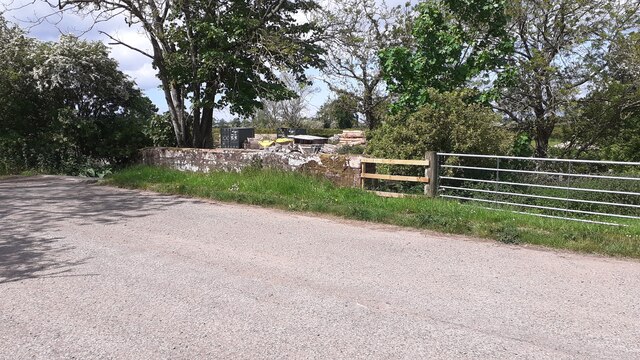
Image: © Luke Shaw Taken: 4 Jun 2021
Ordnance Survey documents indicate that a benchmark was levelled at 39.255 feet above Liverpool Datum on this parapet during the 1844/5 Carlisle to Sark Bridge 1GL Survey. The surveyor's description was: 'No. 15. Mark on North pier of small bridge ; 2.01 ft. below mark on crown of battlement, and 0.92 ft. above surface'.
Images are licensed for reuse under creativecommons.org/licenses/by-sa/2.0
Image Location


Leaflet Map data © OpenStreetMap
Latitude
54.981182
Longitude
-2.951698