Promenade at Peacehaven
Introduction
The photograph on this page of Promenade at Peacehaven by Marathon as part of the Geograph project.
The Geograph project started in 2005 with the aim of publishing, organising and preserving representative images for every square kilometre of Great Britain, Ireland and the Isle of Man.

There are currently over 7.5m images from over 14,400 individuals and you can help contribute to the project by visiting https://www.geograph.org.uk
Promenade at Peacehaven
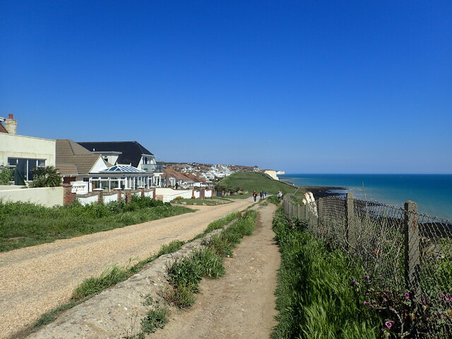
Image: © Marathon Taken: 5 Jun 2021
Slindon Avenue is the first turning on the left and beyond that is Mayfield Avenue, followed by one of the long stretches of grass which characterise the cliff top at Peacehaven. The nearest white cliffs are at Harbour Heights, this side of Newhaven while in the very far distance is Seaford Head.
Images are licensed for reuse under creativecommons.org/licenses/by-sa/2.0
Image Location
Latitude
50.787409
Longitude
0.007884