Ratcliffe-on-Soar village
Introduction
The photograph on this page of Ratcliffe-on-Soar village by Alan Murray-Rust as part of the Geograph project.
The Geograph project started in 2005 with the aim of publishing, organising and preserving representative images for every square kilometre of Great Britain, Ireland and the Isle of Man.

There are currently over 7.5m images from over 14,400 individuals and you can help contribute to the project by visiting https://www.geograph.org.uk
Ratcliffe-on-Soar village
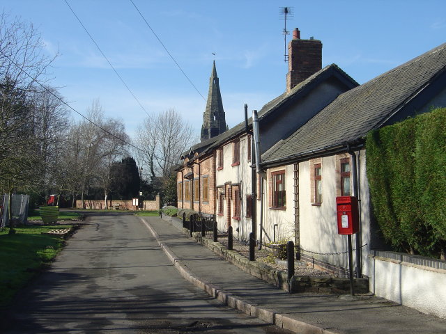
Image: © Alan Murray-Rust Taken: 10 Feb 2008
Modernised cottages with the spire of the church in the background and a pole-mounted post box. This lane does not appear to have a particular name.
Images are licensed for reuse under creativecommons.org/licenses/by-sa/2.0
Image Location
Latitude
52.855323
Longitude
-1.26573