Bridleway heading ESE - SW of Hayland Farm
Introduction
The photograph on this page of Bridleway heading ESE - SW of Hayland Farm by Ian Hawfinch as part of the Geograph project.
The Geograph project started in 2005 with the aim of publishing, organising and preserving representative images for every square kilometre of Great Britain, Ireland and the Isle of Man.

There are currently over 7.5m images from over 14,400 individuals and you can help contribute to the project by visiting https://www.geograph.org.uk
Bridleway heading ESE - SW of Hayland Farm
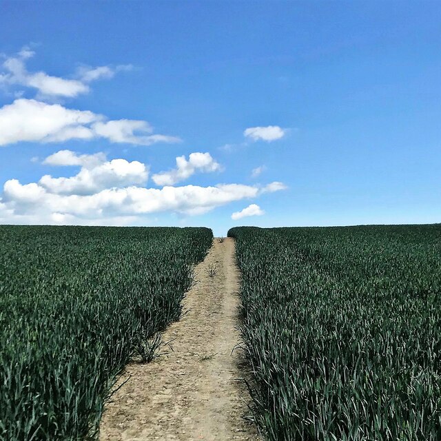
Image: © Ian Hawfinch Taken: 5 Jun 2021
Compare this path with Image] which runs through the same crop, about 400 metres to the north. The latter is a public footpath, whereas this is a bridleway. Horses clearly need a wider single carriageway!
Images are licensed for reuse under creativecommons.org/licenses/by-sa/2.0
Image Location
Latitude
50.945793
Longitude
-0.7049