Clayfolds
Introduction
The photograph on this page of Clayfolds by Anne Burgess as part of the Geograph project.
The Geograph project started in 2005 with the aim of publishing, organising and preserving representative images for every square kilometre of Great Britain, Ireland and the Isle of Man.

There are currently over 7.5m images from over 14,400 individuals and you can help contribute to the project by visiting https://www.geograph.org.uk
Clayfolds
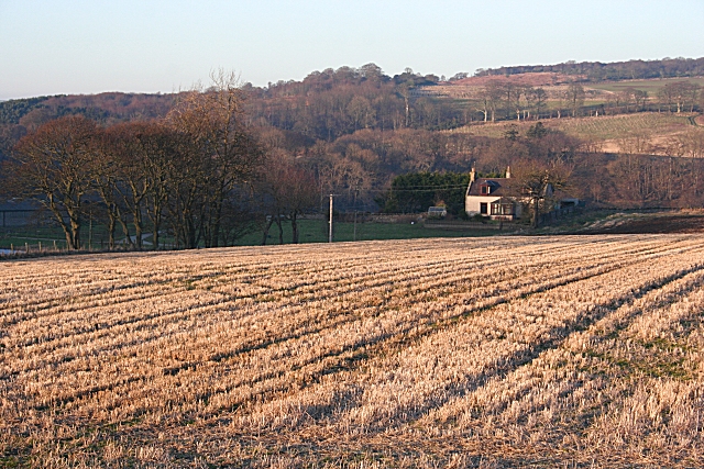
Image: © Anne Burgess Taken: 11 Feb 2008
The farm house at Clayfolds standa a little way off the road. Low sun picks out unevennesses in the stubble field in front. The rising ground beyond is on the opposite bank of the River Deveron.
Images are licensed for reuse under creativecommons.org/licenses/by-sa/2.0
Image Location
Latitude
57.634043
Longitude
-2.532538