Junction, Teignmouth
Introduction
The photograph on this page of Junction, Teignmouth by Derek Harper as part of the Geograph project.
The Geograph project started in 2005 with the aim of publishing, organising and preserving representative images for every square kilometre of Great Britain, Ireland and the Isle of Man.

There are currently over 7.5m images from over 14,400 individuals and you can help contribute to the project by visiting https://www.geograph.org.uk
Junction, Teignmouth
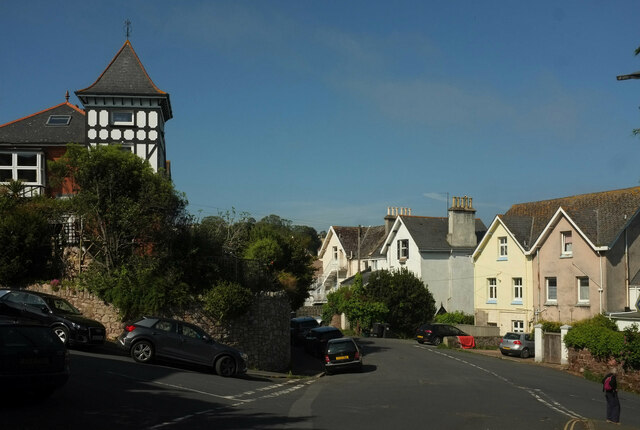
Image: © Derek Harper Taken: 30 May 2021
Higher Brimley Road curves left past Winterbourne Road (left) and Shute Hill (right). In addition, Heywoods Road Image] turns off the latter a few metres out of shot.
Images are licensed for reuse under creativecommons.org/licenses/by-sa/2.0
Image Location
Latitude
50.549022
Longitude
-3.49681