Field of buttercups near Vigo
Introduction
The photograph on this page of Field of buttercups near Vigo by Marathon as part of the Geograph project.
The Geograph project started in 2005 with the aim of publishing, organising and preserving representative images for every square kilometre of Great Britain, Ireland and the Isle of Man.

There are currently over 7.5m images from over 14,400 individuals and you can help contribute to the project by visiting https://www.geograph.org.uk
Field of buttercups near Vigo
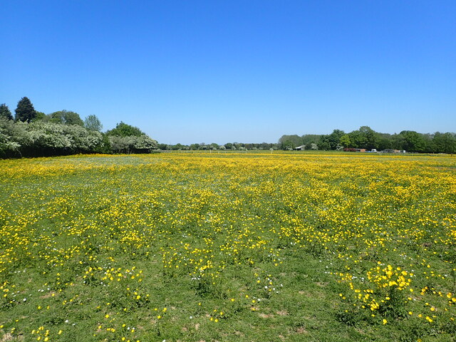
Image: © Marathon Taken: 1 Jun 2021
This is the view from a footpath leading from Harvel Road to Gravesend Road (A227). The latter is behind the hedge on the left. This is very much horse country - see https://www.geograph.org.uk/photo/6857510
Images are licensed for reuse under creativecommons.org/licenses/by-sa/2.0
Image Location
Latitude
51.331995
Longitude
0.344397